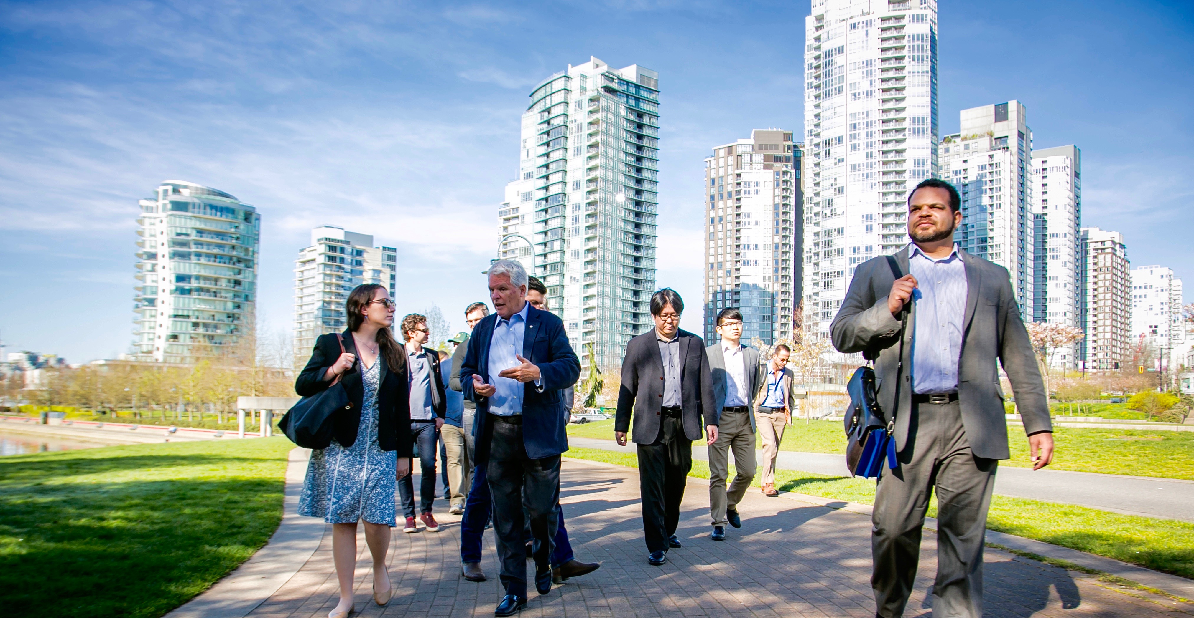
In March 2016, second-year students in the Baker Program in Real Estate embarked on a trip to Vancouver, British Columbia to meet with the people and companies that have played a hand in shaping Vancouver into the celebrated international city it is today. Starting with a bold plan hatched in the 1980s to connect the city to its waterfront, Vancouver has spent the following decades on a transformation spree that is the envy of urbanists the world over. Throughout a five-day itinerary, students visited the projects and neighborhoods that epitomize this transformation.
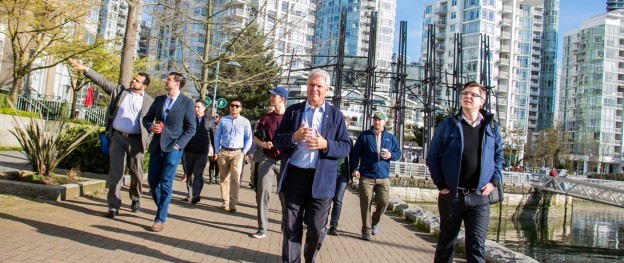
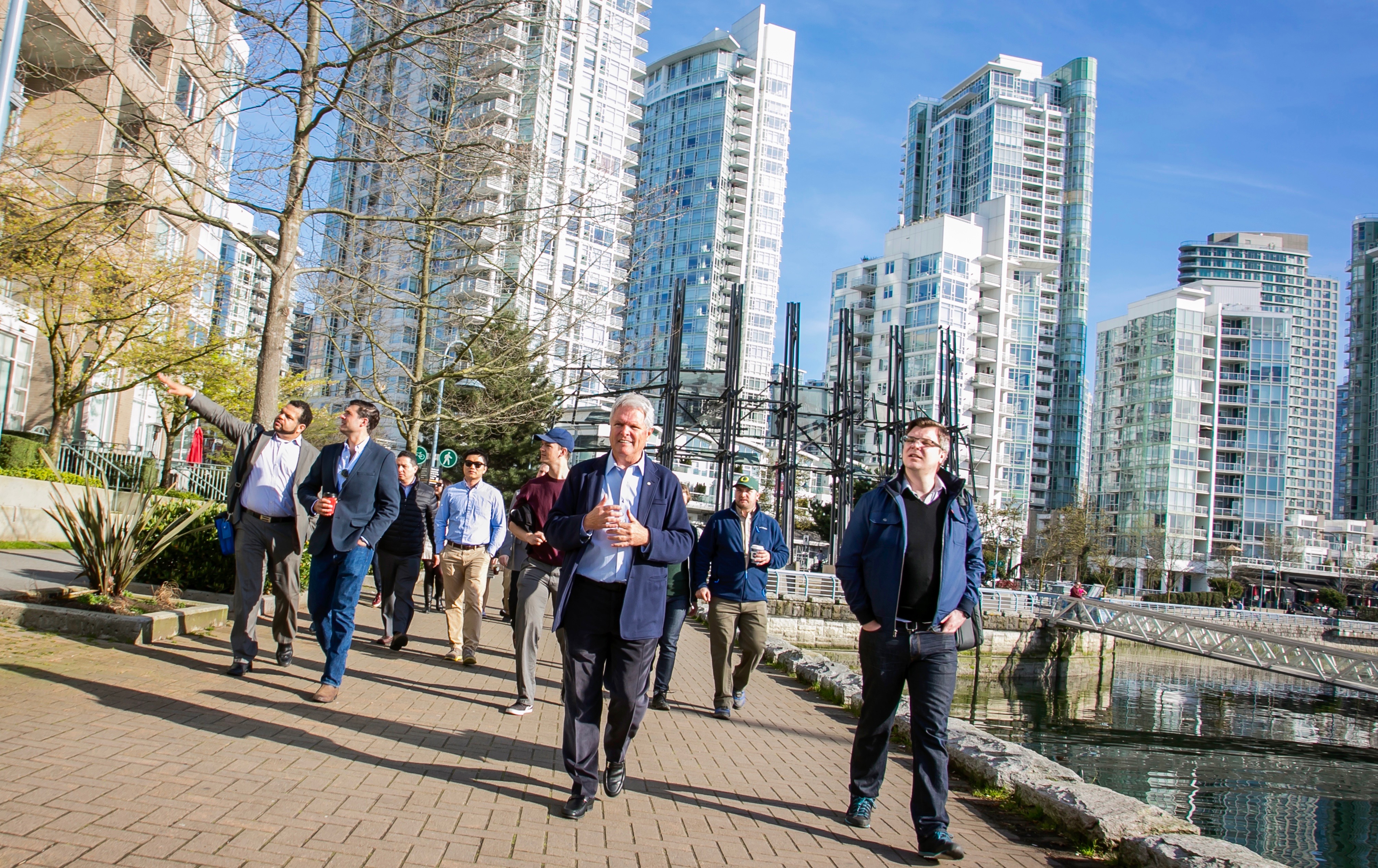
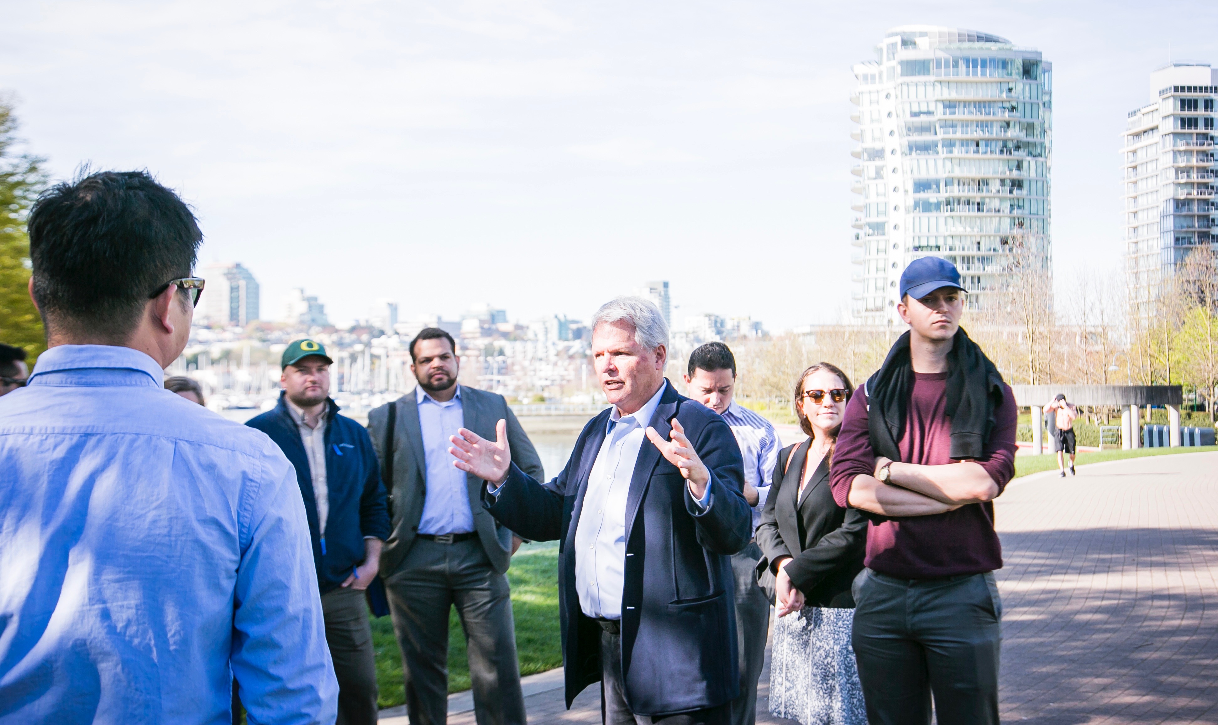
The trip began by meeting at the waterfront with Larry Beasley, former Co-Director of Planning for the City of Vancouver. Beasley was instrumental in driving the City’s efforts to build the seawall, the pedestrian and bike paths along the water, and in crafting the zoning and developer requirements that would allow for the appropriate density, housing types, and public spaces. The resulting development has been coined “Vancouverism,” a planning movement that has spawned inspiration in hundreds of other cities across the globe.
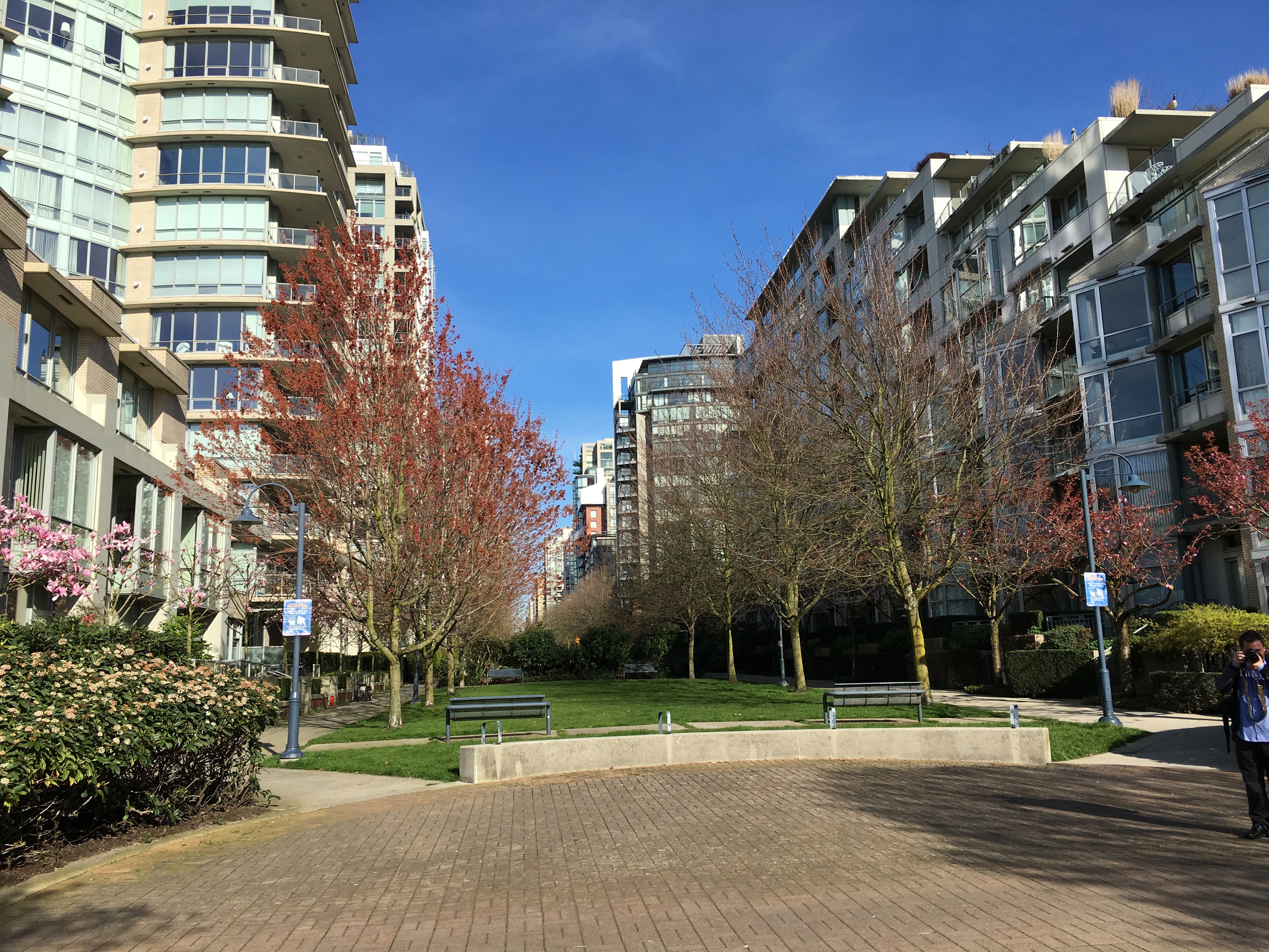
Beasley spoke of specific measures such as mandating the right amount of space between towers so that occupants aren’t uncomfortable (90 feet), and requiring ground floor uses of retail in the right areas, as well as townhouse-style housing product along the edges of residential towers that are popular with families moving from less-dense neighborhoods. Underground parking also provides for efficient land-use without the impediment of parking lots or lost floors above-ground. The urban form along the waterfront has also been carefully designed to allow for large view corridors so that residents along the waterfront and further-inland are able to see the water. The spaces are ideal for streetscapes, parks, and openings that enhance the pedestrian experience, and provide residents with public amenities right at their front doorstep.
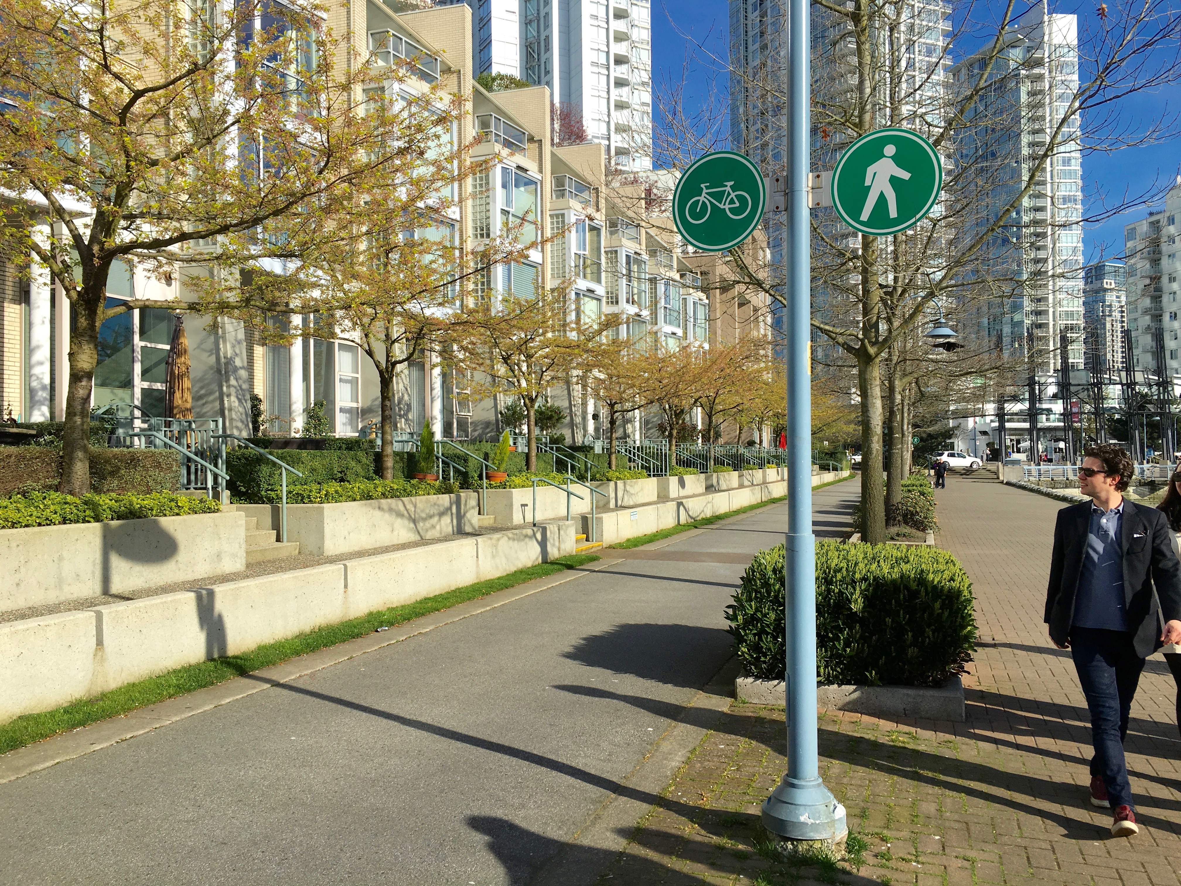
Another challenge is how to manage the two modes of travel along the waterfront. No- not cars! But pedestrians and cyclists. The waterfront paths are split between bike and pedestrian modes, with the pedestrian path along the edge of the seawall, which is embellished with ample trees, planters, and benches so that residents may enjoy the water at their leisure, or get to where they’re going with ease. The split helps to keep accidents to a minimum, and the flow of travel at the right pace.
In addition to parks and open space, the waterfront development included the construction of a new school and playground so that local residents could easily raise children in the area without the need of a car or bus to deliver their children to school. The convenience factor and space programming was intended to “crack the nut” on getting suburban families into the City- and it succeeded. Beasley, the team at the City, and the waterfront developers came together with the public at large to determine what was necessary to drive interest in families to move to the City through hundreds of public meetings, thousands of private consultations and conversations, and a marketing effort that played directly to each housing group.
Through a strategy of transparent and open engagement, Vancouver developed the model for comfortable and sustainable urban living. Though a City of over 600,000 (2.3 million in Metro-area), Vancouver can be comfortably traveled across by foot or bike in the fraction of an afternoon, and the City is consistently ranked as one of the most livable cities on the planet by a range of publications. Newer developments such as the Olympic Village area even incorporate their own greywater-recycling and efficient power and heating as a whole integrated system- the City even boasts its own steam district, and new transit stations have recently opened to continue expanding the light-rail network. The City is a shining example of what can go right in a City’s development when parties come together collaboratively, and effectively.
Part Two will explore the history behind the 1986 World Expo site, and Concord Pacific’s development along the waterfront.